
 E-Paper



Cold winds enter Bihar region, likely to bring dense fog, dip in mercury
Weather conditions are changing in the Bihar region with the cold north-westerly winds entering on Tuesday, which is expected to bring day and night temperature down from Wednesday onwards.


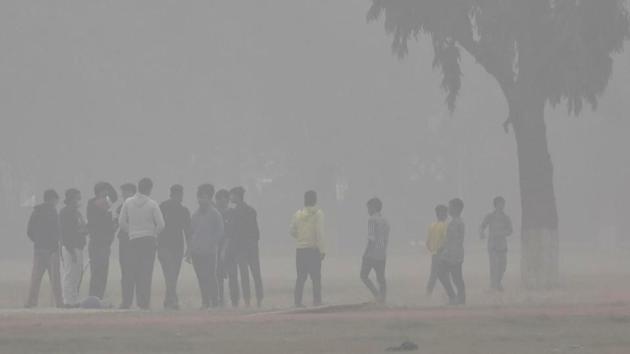
Several places in Bihar including central and southern parts of the state along with capital Patna are likely to experience dense fog and fall in mercury from Wednesday, said officials of Patna meteorological centre.
As per the 5-day forecast, minimum temperature in the state is predicted to hover around 13 to 14 degrees Celsius while maximum temperature is likely to be around 24 degrees Celsius.
On Tuesday, Patna recorded a minimum temperature of 15.4 degrees Celsius, which was four notches below the normal while maximum temperature stood at 26.8 degrees Celsius. Gaya remained the coldest in the state with the lowest minimum temperature of 11 degrees Celsius.
Officials at Patna meteorological centre said that moderate fog is likely to prevail in the eastern parts and shallow fog at other parts for the next two days.
“Significant change in weather conditions can be felt from today. Cold north-westerly winds entered the Bihar region on Tuesday which is expected to bring day and night temperature down from Wednesday onwards. Even during daytime, sunlight has low heat. The winter condition is likely to become colder due to the fall in day and night temperature, if the speed of wind intensifies in coming days,” said Sudhanshu, a meteorologist.
“Dense fog is likely over places situated near water bodies while moderate fog is likely at other places for the next two days. Fog is favourable for Rabi crops but it obstructs flight services due to poor visibility”, he added.
Also Read: Intense western disturbance to bring rain to plains, heavy snowfall to Western Himalayas
Explaining the fog formation, meteorologist SK Patel said, “A cyclonic circulation extending up to 1.5 km above mean sea level is lying over Rajasthan and neighbourhood. Due to formation of cyclonic circulation, humid condition prevails at lower-level of atmosphere. Pollutant particles rise in the atmosphere in the presence of humidity and wind which leads to formation of fog.”
According to the Central Pollution Control Board’s daily bulletin, Patna’s 24-hour AQI based on six air monitoring stations was 315 with PM2.5 and PM10 prominent pollutants.

Stay updated Bihar Lok Sabha Result and with all the Breaking News and Latest News from Bengaluru. Click here for comprehensive coverage of top cities including Delhi, Mumbai, Hyderabad, and more across India . Stay informed on the latest happenings in World News.


