E-Paper


Washington State fire map: Where are wildfires burning right now? Evacuation and containment updates
Multiple wildfires are currently burning across Washington state. Scroll down to check the fire map.

 Prefer HTon Google


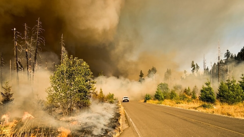
Multiple wildfires are currently burning across Washington state, with some of the fires covering large areas and affecting nearby communities. The Little Giant Fire and Sinlahekin Fire are among the largest, with each having burned more than 160,000 acres.
About Little Giant fire and current status
The Little Giant Fire is burning about one mile west of Nineteenmile Campground, west of the Chiwawa River. It has burned 162,961 acres and is 27% contained as of 1:12pm EDT.
The fire was first reported on July 16 at 9:50pm.
A Level 3 “Go Now” evacuation order is in place for several areas of Chelan County, including LG Chelan, LG Entiat and the Little Giant zones. Residents in these areas are being told to leave immediately.
Also read: Roseville fire today: What’s burning near Sacramento? Residents report smoke
Sinlahekin Fire
The Sinlahekin Fire is burning northwest of Sinlahekin Campground near Tonasket. It has burned 166,868 acres and is 41% contained as of 12:56pm EDT.
The fire was first reported on July 27 at 2:51am.
A Level 3 “Go Now” evacuation order is in place in Okanogan County. Residents should check the Okanogan Perimeter Map for the exact areas covered by the order.
Kaiser Canyon Fire
The Kaiser Canyon Fire is burning south of the 900 block of Buffalo Lake Road South near Nespelem. It has burned 138,293 acres and is 90% contained, making it the most contained of the three active fires.
A Level 1 advisory is in place in the affected area, meaning residents should be ready to evacuate if needed.
Residents can check the Washington fire map here.
What the evacuation levels mean
Washington state uses a three-level evacuation system. Level 1 means residents should be aware of the situation and be ready to leave. Level 2 means residents should be set to go and should prepare to evacuate at a moment's notice. Level 3, which is in place for both the Little Giant and Sinlahekin fires, means residents must leave the area immediately without delay.
The Kaiser Canyon Fire has the highest containment level at 90%, while the Little Giant and Sinlahekin fires remain less contained.
Residents should pay close attention to evacuation warnings and follow instructions from local officials.