
 E-Paper



As cyclone Fani hits, Bhubaneswar goes without power, streets deserted
The India Meteorological Department (IMD) has warned of a storm surge of about 1.5 metres which may inundate low-lying coastal areas of Ganjam, Khurda, Puri, and Jagatsinghpur districts at the time of landfall.

 Prefer HTon Google


Rains and strong winds lashed Odisha’s capital Bhubaneswar and Cuttack and Bhadrak on Friday as the extremely severe Cyclone Fani made landfall in Puri hitting power supply and emptying streets.
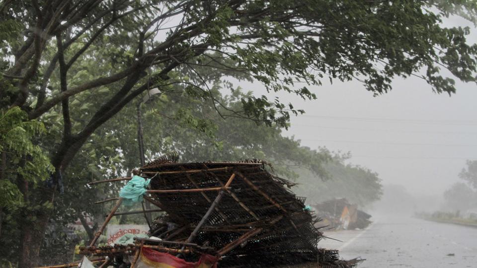
The India Meteorological Department (IMD) has warned of a storm surge of about 1.5 metres which may inundate low-lying coastal areas of Ganjam, Khurda, Puri, and Jagatsinghpur districts at the time of landfall. The government said that 10,000 villages and 52 towns located in nine districts in Odisha will be affected.
Follow LIVE updates here.
The cyclonic storm is very likely to move north-northeastwards and cross the Odisha coast between Gopalpur and Chandbali, south of Puri during forenoon with maximum sustained wind speed of 170-180 kmph gusting to 200 kmph.
The Odisha government has evacuated more than a million people from the vulnerable districts since Thursday.
Also Read | Cyclone Fani makes landfall, 175 km/hr winds, rain batter Odisha’s Puri
All shops were closed in state capital Bhubaneswar and Cuttack and Bhadrak towns the state. The streets were completely empty with no vehicle, except for a handful of private cars, plying.
The sky was overcast on Friday as Bhubaneswar, Cuttack and Bhadrak witnessed rain from Thursday night.
The landfall process is very likely to continue till afternoon on Friday. The system is then very likely to continue to move north-northeastwards, weaken gradually and emerge into Gangetic West Bengal as a “severe cyclonic storm” by the early morning of May 4.
It is very likely to move further north-northeastwards and emerge into Bangladesh on May 4 evening as a cyclonic storm.
(With agency inputs)


