E-Paper



In a first, Uttarakhand govt, IIRS to study urban flooding in Dehradun
Under this study, maps with high-resolution of around 1 cm, of the flood-prone areas will be developed by using high tech drones.

 Prefer HTon Google


The Uttarakhand State Disaster Management Authority (USDMA) in collaboration with the Indian Institute of Remote Sensing (IIRS) is planning to undertake the first of its kind study of urban flood patterns in the state capital.
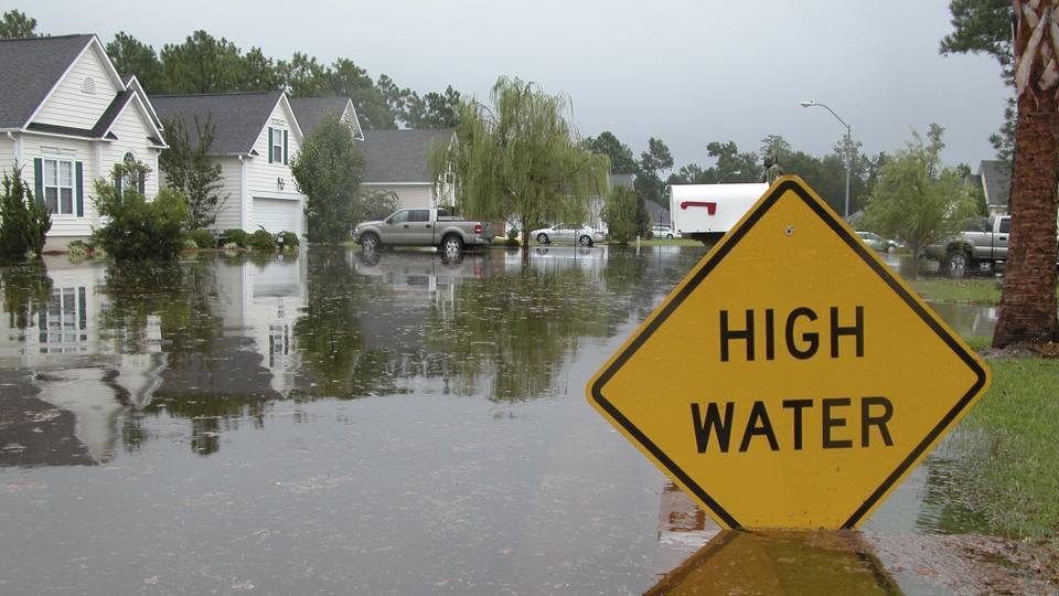
Riddhim Aggarwal, additional chief executive officer USDMA said that it is the first time such a study is being undertaken in any city of Uttarakhand.
“Under this study, maps with high-resolution of around 1 cm, of the flood-prone areas will be developed by using high tech drones. Based on these maps which also capture land undulations on a very high resolution, we will understand the drainage and passageways for rainwater and flooding patters around Rispana (a tributary of the Song River that drains central Dehradun) and Bindal (which also flows through Dehradun and is fed by a number of springs at the base of Mussoorie ridge) rivers in Dehradun,” she said
Aggarwal said USDMA has been in negotiations with the experts from IIRS in this regard for quite sometime
“We held a meeting with the experts from IIRS on Wednesday in which we discussed various technicalities and modalities for this survey,” she said
The USDMA additional CEO said soon they will sign a memorandum of understanding (MoU) with IIRS in this regard.
“The high-resolution maps of the city will give us a fair idea about the areas where severe flooding is possible due to severe rainfall and blockages (in the form of encroachments and debris) in the drainage and nullahs. The high-resolution maps will also help us in identifying those low-lying areas around rivers where flooding is possible,” she said
Aggarwal said they have a lot of data from existing snow and rain gauges. “IIRS also has good data. But this data has never been integrated with regard to understanding the pattern of urban flooding. Integrating these data and having high-resolution maps will help us in saving lives and properties due to flooding and severe water-logging in the urban landscape. After undertaking this study in Dehradun, and based on the results, we have plans to take up such studies in other cities of the state in the future,” she said.
Last year a PIL had been filed in Uttarakhand high court alleging that a large number of trees had been cut and encroachments had been made around the nullahs/storm water drains in Dehradun that flow into Rispana and Bindal rivers. The state government through an affidavit by the district magistrate Dehradun had informed the court that around 270 acres of land had been encroached on riverbeds, nullahs and seasonal streams across Doon Valley.