
 E-Paper



Single-day rainfall at three-year low, heavy spell likely on Friday in Gurugram
Last year, the highest rainfall the city had received until August 15 was 92mm, and, on at least three days, the amount of rainfall exceeded 35mm, which is the benchmark for categorisation of a shower as heavy rainfall, as described by the India Meteorological Department (IMD).


The heaviest rainfall received by the city this monsoon so far, of 55mm on Tuesday, is a three-year low, according to the data available. However, heavy rains are likely to lash the northern part of the country, including Haryana, on Friday, according to experts.
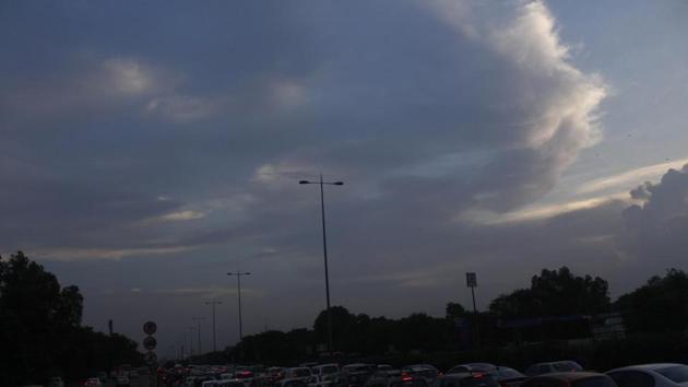
Experts attributed the low to the patchy and discontinuous spells of rain due to weak weather systems, as a result of which there has been only one instance of heavy rainfall, i.e., the season-high recorded on Tuesday.
According to meteorologists, Gurugram, over the last few years, has received higher rain in a day, as compared to this season.
Last year, the highest rainfall the city had received until August 15 was 92mm, and, on at least three days, the amount of rainfall exceeded 35mm, which is the benchmark for categorisation of a shower as heavy rainfall, as described by the India Meteorological Department (IMD).
In 2017, Gurugram’s highest amount of rainfall until this point was 66mm, and heavy rain was recorded on at least four days, as per data available with the IMD.
According to the IMD, rainfall is classified ‘light’ when it is between 2.5mm and 7.5mm, ‘moderate’ between 7.6mm and 35.5mm, and ‘heavy’ between 35.6mm and 124mm.
The region receives monsoon rain due to an interaction between the low-pressure circulations, formed over the Bay of Bengal, that move from the east to the west and the western disturbances that move from the west to east. “This interaction has, so far, not taken place this monsoon. While western disturbances have been moving in over the northern region, low-pressure circulations have developed over Central India, leading to little rainfall in north-western regions,” said Kuldeep Srivastava, a senior scientist with the IMD.
Intense rainfall is often generated by these low-pressure systems, which are embedded within the monsoon trough. The low-pressure circulation is expected to move towards the northern region around Friday.
Experts said this movement of the low-pressure circulations towards the northern parts and its interaction with the western disturbance would, most likely, cause a widespread rainfall over the plains of north-west India, including Haryana and Punjab, on Friday.
“This interaction could lead to heavy and extremely heavy rainfall for three days starting Friday,” said Srivastava, adding that the amount of rainfall received in a day could exceed the current maximum of 55mm.

Stay updated with all the Breaking News and Latest News from Mumbai. Click here for comprehensive coverage of top Cities including Bengaluru, Delhi, Hyderabad, and more across India along with Stay informed on the latest happenings in World News.


