E-Paper



Drones deployed to keep hawk’s eye on farm fires in Fatehabad
The drones can remain airborne for an hour and monitor an area within a range of up to three kilometres, complementing conventional monitoring methods that previously relied solely on satellite imagery and data from the Haryana Space Applications Centre (HARSAC)

 Prefer HTon Google


The Haryana agriculture department has initiated drone-based surveillance in Fatehabad district to detect farm fires in real time and strengthen enforcement.
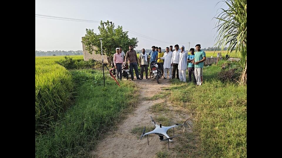
Two drones have been deployed for the initiative, which rolled out initially in Bhiradana village. The drones can remain airborne for an hour and monitor an area within a range of up to three kilometres, complementing conventional monitoring methods that previously relied solely on satellite imagery and data from the Haryana Space Applications Centre (HARSAC).
During the first phase, surveillance will target villages categorised as red and yellow zones based on stubble-burning records from the past three years.
Deputy director of agriculture Vinod Phogat said drone surveillance schedules have been finalised to monitor fields promptly, providing precise geographical coordinates and revenue details of affected land.
Upon detecting a fire, inspection teams will visit the location, photograph the burnt area, and compile GPS coordinates, land records, and patwari reports for submission to the Haryana state pollution control board (HSPCB). Based on the findings, actions may include issuing challans, imposing environmental compensation, and making red entries in land records.
The drones are scheduled to fly at noon and 3 pm, with each flight covering an area of up to four square kilometers. Harvested paddy fields are videographed on a per-acre basis alongside periodic photographs, with compiled reports forwarded to department headquarters in Panchkula.
During trial runs in Bhiradana, agriculture officials engaged with farmers to promote scientific crop residue management, warning against the environmental and soil hazards of burning stubble.
Local farmer Sawarn Singh said most residents have already abandoned the practice, expressing hope that drone monitoring will help make Fatehabad completely fire-free.
According to officials, awareness campaigns and regular monitoring have significantly improved the district’s record: out of 44 villages classified as red zones two years ago, 37 have shifted to the green zone and four remain in yellow.
Aiming for zero stubble-burning incidents this season, the administration has also constituted ‘Parali Protection Forces’ across district, sub-divisional, block, and village levels to strengthen monitoring and promote alternatives.