
 E-Paper



Photos: Mount Merapi erupts, spews massive ash cloud
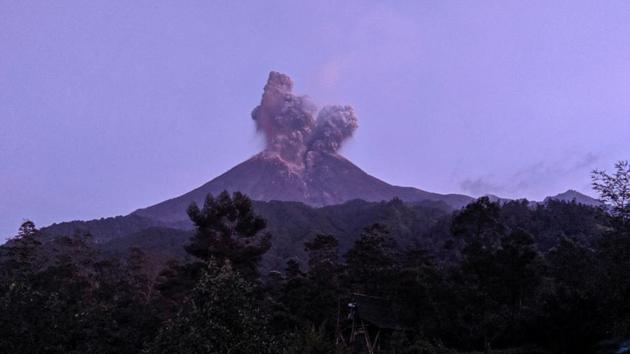
Indonesia's Mount Merapi volcano erupted on Tuesday morning, sending a 6-km column of ash into the air and triggering the closure of the airport in the nearby city of Solo on the densely populated Java island. The volcano, located near the cities of Yogyakarta and Solo, is one of Indonesia's most active volcanoes.
Updated on: Mar 4, 2020 6:13 PM IST


Share via


Copy link

1/6
 View Photos in a new improved layout
Updated on Mar 4, 2020 6:13 PM
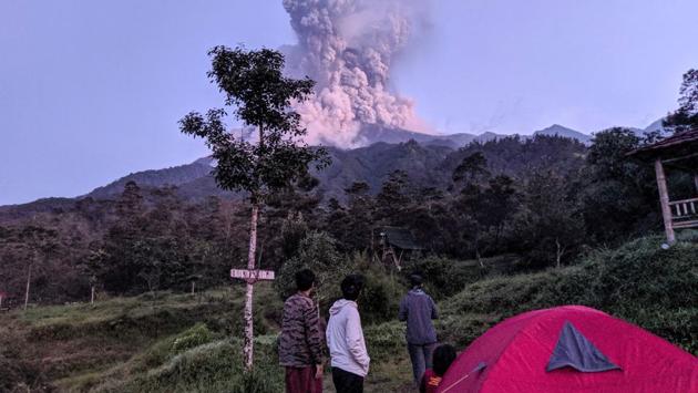
Tourists look towards Mount Merapi volcano as it erupts, at Cangkringan district in Sleman, Yogyakarta. Indonesia’s most active volcano erupted Tuesday, shooting a massive ash cloud some 20,000 feet in the air which coated nearby communities with grey dust. (Rizky Tulus / Indonesia Out / REUTERS)
2/6
 View Photos in a new improved layout
Updated on Mar 4, 2020 6:13 PM
A motorist covers his face while riding a motorbike following the volcanic eruption in Boyolali, Central Java province. Ash mixed with sand rained down on towns as far as 10 kilometres from the belching crater near Indonesia’s cultural capital Yogyakarta. (Aloysius Jarot Nugroho / Indonesia Out / REUTERS)
3/6
 View Photos in a new improved layout
Updated on Mar 4, 2020 6:13 PM
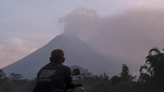
Indonesia’s Geological Disaster Technology Research and Development Centre said the eruption lasted almost eight minutes and warned of a risk of further eruptions due to continuing movements of magma. The 9612.86 feet volcano is a popular site for tourists and its fertile soil is also farmed. (Slamet Riyadi / AP)
4/6
 View Photos in a new improved layout
Updated on Mar 4, 2020 6:13 PM
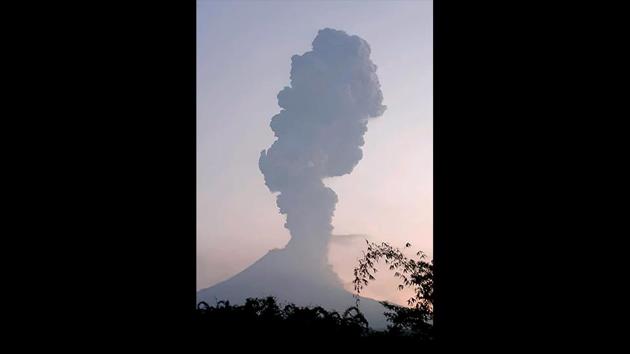
Indonesia’s volcano agency warned residents to stay out of a 3km no-go zone around Mount Merapi, citing possible danger from flowing lava and pyroclastic flows—a fast-moving mixture of hot gas and volcanic material. Mount Merapi’s last major eruption in 2010 killed more than 300 people and forced the evacuation of some 280,000 residents. (Merapi Observation / AFP)
5/6
 View Photos in a new improved layout
Updated on Mar 4, 2020 6:13 PM
Motorists ride their motorbikes as volcanic ash engulfs a road following the eruption. Authorities temporarily closed the international airport in Solo city—also known as Surakarta—some 40km away after the early morning eruption. (Aloysius Jarot Nugroho / Indonesia Out / REUTERS)
6/6
 View Photos in a new improved layout
Updated on Mar 4, 2020 6:13 PM


