E-Paper


Cannon Falls, Minnesota: Funnel cloud spotted amid tornado warned storm affecting 20 counties; damage reported
NWS confirmed a funnel cloud near Cannon Falls in Goodhue County, Minnesota, after storm chaser Tanner Charles shared footage of the rotation.

 Prefer HTon Google


The National Weather Service (NWS) in Twin Cities said that a funnel cloud associated with a tornado warned storm was spotted in Cannon Falls in Minnesota's Goodhouse County.
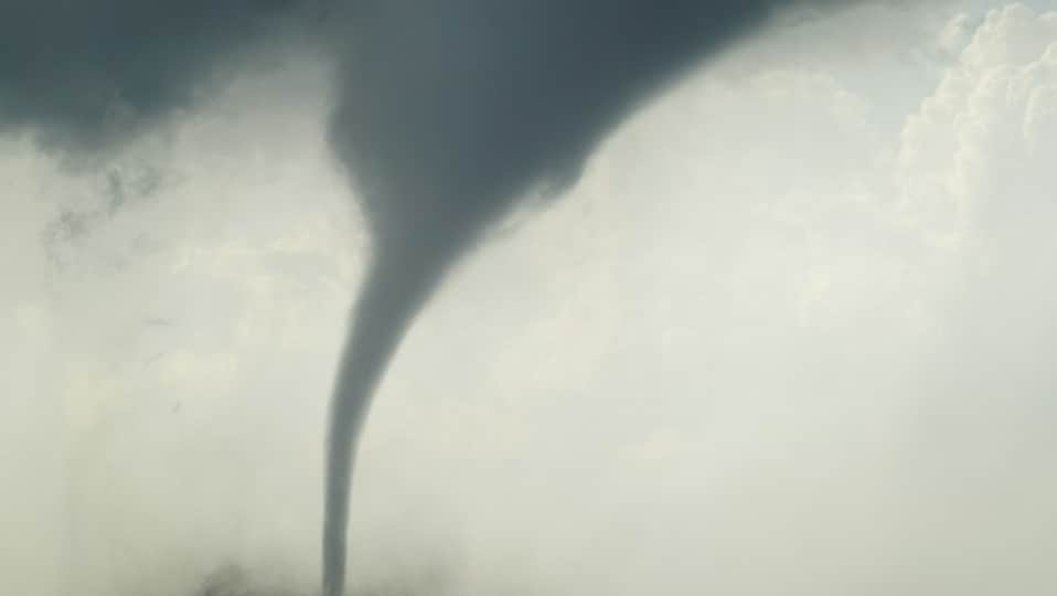
The NWS confirmed that the rotation shared on X by a storm chaser from outside Cannon Falls, just northeast of Randolph in Minnesota, was a funnel cloud.
Here's the video of the rotation shared by storm chaser Tanner Charles.
The NWS tornado watch exists till 9pm CT for Minnesota till 9pm CT. The following 21 counties were included in the alert: Anoka, Benton, Carver, Chisago, Dakota, Goodhue, Hennepin, Isanti, Kanabec, Le Sueur, McLeod, Mille Lacs, Nicollet, Ramsey, Rice, Scott, Sherburne, Sibley, Washington, Wright
Nine counties in Wisconsin were also included in the alert. The storm moved east to west across central Minnesota before entering Wisconsin later in the evening.
Per the alert, NWS said that "a couple" of tornadoes are possible along with gusty winds of up to 70mph, along with scattered hail in parts of Minnesota. All 20 counties along the route in Minnesota experienced lightning and rain.
A video from Minnesota's New Trier showed significant hail accumulation.
A user from Goodhouse County shared visuals of damages caused in Goodhouse County by the tornado warned stormed.
A video from a road dash camera around 4:30am CDT showed heavy rains lashing the area, along with strong winds. The weather had visibly affected traffic, as the video showed.
Wisconsin to face some heat of the storm
As the storm moves from Minnesota into Wisconsin, the latter's west and northwestern states were affected by it.
The NWS placed nine counties under a tornado watch. They are: Barron, Chippewa, Dunn, Eau Claire, Pepin, Pierce, Polk, Rusk, and St. Croix.
The storm is expected to dissipate later on Wednesday night. By Thursday morning, the weather is expected to clear up.